




Long before the Omaha Metro stretched across its five-county footprint along the Missouri River in Nebraska, the region was a vast, open prairie.
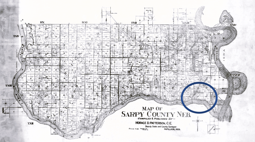
The town of La Platte and the school can be seen near the junction of the Missouri and Platte Rivers on this 1911 map of Sarpy County.

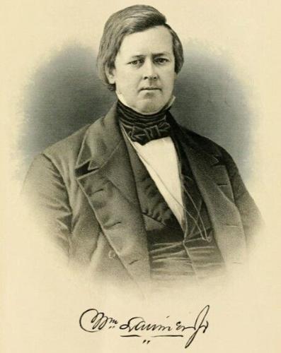
General William Larimer Jr., left his home state of Pennsylvania seeking opportunity on the western frontier. He founded La Platte in Nebraska Territory before moving on to Kansas. Eventually, he became the founder of Denver in Colorado.
Mysteries on the Map
Mysteries on the Map is a series that highlights a different ghost town and how it contributed to the rich history of Nebraska. Running through the summer months, it pays tribute to the pioneers who endured incredible hardship and paved the way so that we can now enjoy the good life called Nebraska.
If you have suggestions or stories to share about a community that no longer exists, contact reporter Kristen Sindelar at Kristen.Sindelar@midwestmessenger.com.
Taking the scenic route has a whole new meaning when trekking through Keya Paha County in extreme northern Nebraska. Even the map alludes to t…

Mayberry residents recount friendly atmosphere of southeastern Nebraska community
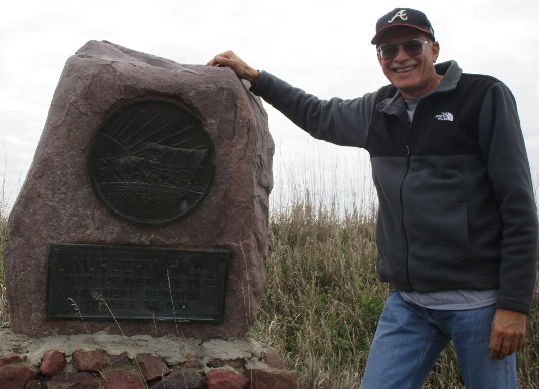
Freighters and drovers would cross the Missouri River near Nebraska City then follow this trail for a day before fording the Nemaha River to arrive at Nursery Hill.

You likely will not see Lowell, Nebraska on modern-day road atlases, but Google Maps will still take you to the ghost town’s remnants in north…

The founders of Emporia, Nebraska in Holt County had great hopes for this platted town to become the scene of commerce.

When they heard the premise of the story was a “ghost” town, the room became animated. “We aren’t ghosted yet,” corrected Leona (Kaufman) Swinney, who lives in the same house where the Rose Post Office operated for 30 years.

If you drive north along Highway 81 toward Yankton, you may not even realize that you are traveling through the ghosts of Elm Creek, Green Island and Strahmburg, with Aten remaining three miles to the west.

In the cattle country of early Rock County in Nebraska, an American outlaw once frequented the region, receiving the same hospitality as any other wary traveler to Mariaville, Neb.

The Ghost Gang earned its name “both from the Gage County ghost town where they briefly made their hideout, as well as from their uncanny ability to disappear seemingly into thin air whenever pursuing officers closed in” (from “Nebraska’s Missing Public Enemy”).
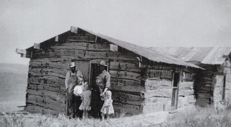
The cabin was considered small but was always welcome to travelers. “No one was ever turned away. There was always room for one more; a mansion with room to spare.”

According to some, Freedom, Nebraska, was named after another post office in the area that was established shortly after the Civil War.
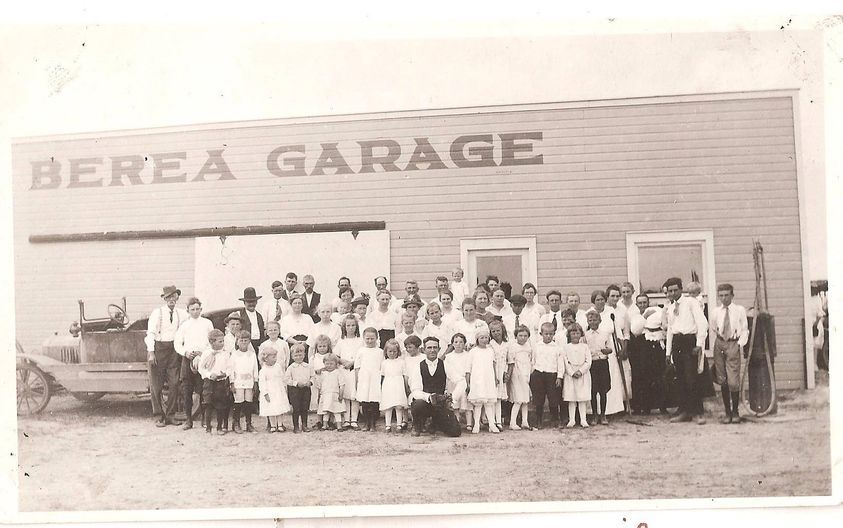
Our series on Nebraska ghost towns continues with Berea in Box Butte County.

The first time she stepped into the house by Emerick was a shock. “I had never seen the inside of George’s house until he gave me my diamond,” Edith said. “We stepped on a bare wooden floor. ... Love overcomes.”

Mysteries on the Map pays tribute to the pioneers who endured incredible hardship and paved the way so that we can now enjoy the good life called Nebraska.

In this installment of Mysteries on the map, we visit Wareham in Cedar County, where a community club has been going since the 1940s.

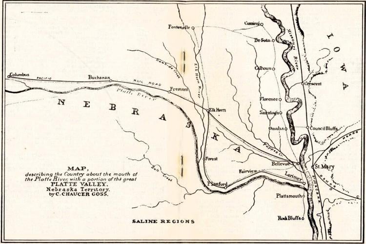
“Larimer” was listed on this historical map of the Platte Valley.

This is the farm place at La Platte, Neb., where Lawrence Iske moved to as a young boy in 1904. The Iske family still lives and farms here.

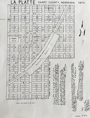
The railroad cuts through the town of La Platte, as shown on this plat map from 1870.

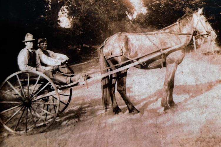
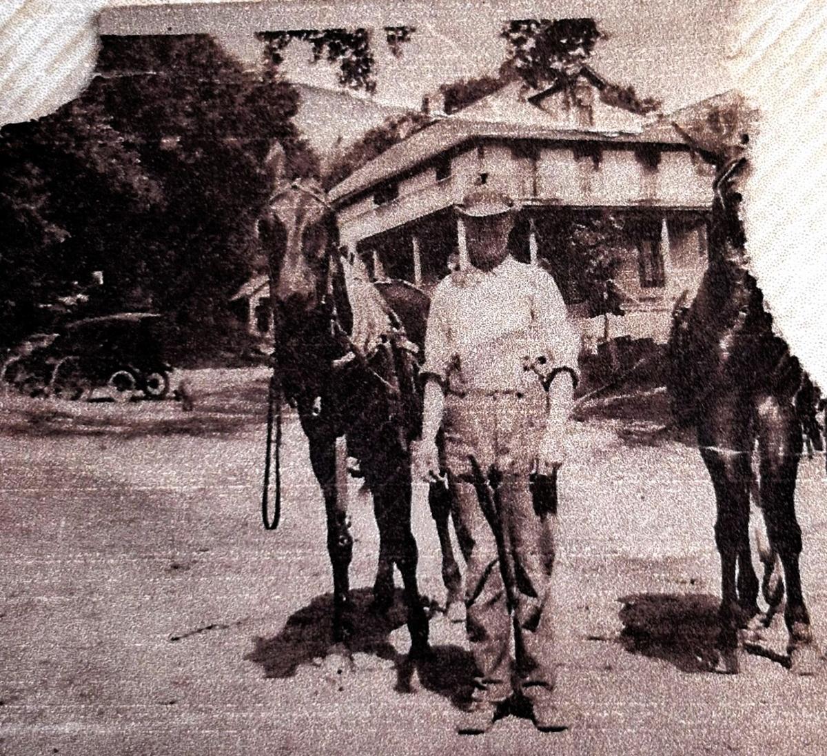
Cousins Lawrence and Will Iske drive down La Platte Road in a buggy circa 1910.

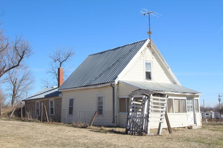
A wooden addition nearly hides the original stone house built in 1869. The house still stands on Iske property in La Platte, Neb.
People are also reading…

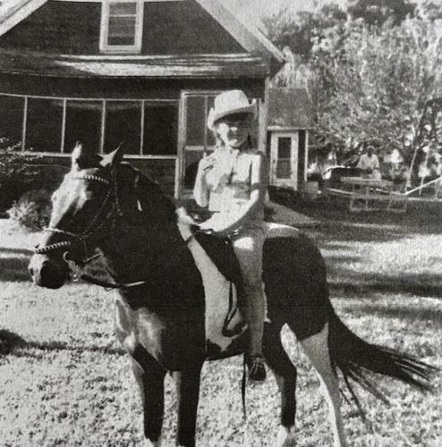
Chris Iske Trost has lived at La Platte, Neb., her entire life. She is pictured as a child riding her pony in front of the Iske house, which was built in 1869.

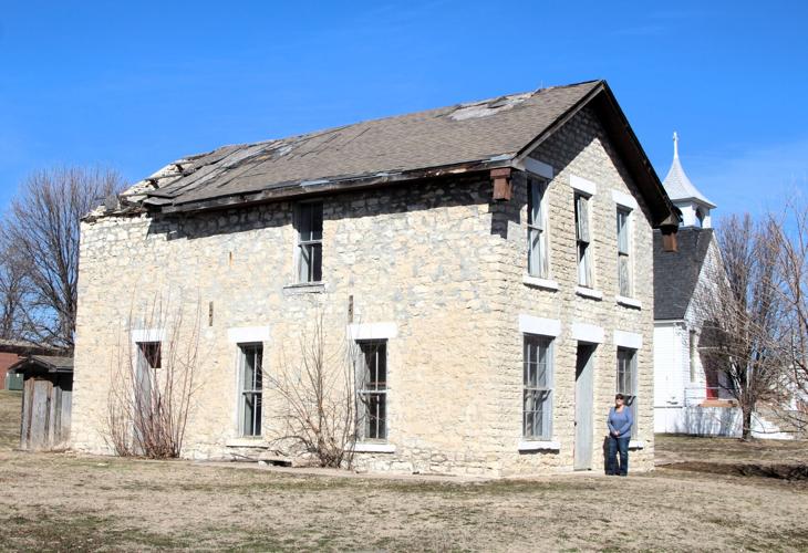
Stone hall is one of four stone structures in La Platte, Neb. Damage from a tornado in 2014 is evident on the roof.

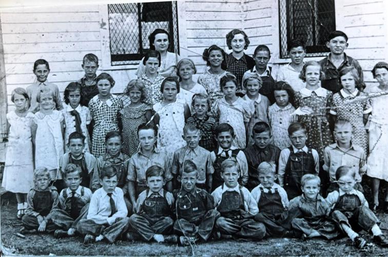
Students line up for a school photo by La Platte Dist. No. 2 in 1936.

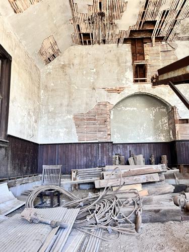
A pile of jacks and planks used to move the building to the Iske property sit where the altar once graced the front of the church. A grain elevator seen looming above to the right spans nearly the entire length of the small, one-room building.

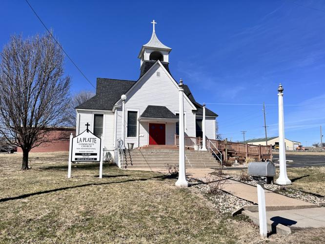
The original La Platte schoolhouse was moved and remodeled into a church. Services are still held weekly at La Platte Community Church.

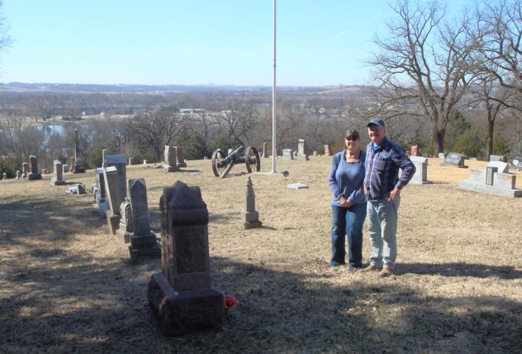
Chris and John Trost stand among the graves of the La Platte Cemetery in Sarpy County, Neb. They were caretakers of the cemetery for many years.

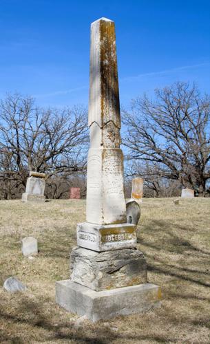
The Hogeboom family monument looms tall above other tombstones in the La Platte Cemetery. Col. Richard Hogeboom donated the land for cemetery in 1891.
Mysteries on the Map is a series that highlights a different ghost town and how it contributed to the rich history of Nebraska. Running through the summer months, it pays tribute to the pioneers who endured incredible hardship and paved the way so that we can now enjoy the good life called Nebraska. If you have suggestions or stories to share about a community that no longer exists, contact reporter Kristen Sindelar at Kristen.Sindelar@midwestmessenger.com.

Kristen Sindelar
Agriculture Reporter