


Many of the early settlements, dubbed “towns” by the people who congregated there, are no longer given an ounce of recognition on a map. One such sleepy little hollow nestled in the far southeastern corner of Nebraska in Pawnee County was known as Mayberry.

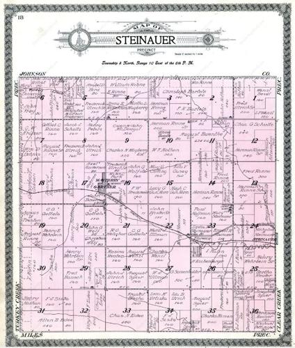
An old precinct map shows the community of Mayberry.

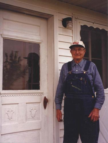
Edwin Bredemeier loved his old town of Mayberry, Neb. He was standing by the back door of his home in this photograph taken in May 1999. Notice his reflection in the door’s windowpane.

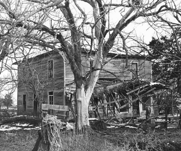
One of the walls inside the Mayberry hotel had a large mural. Rumor has it that the owner buried money on the property but never told anyone where.

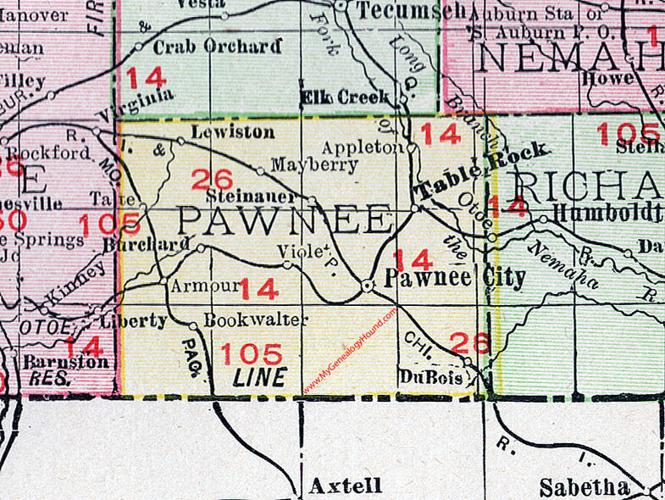
An old map of Pawnee County shows the community of Mayberry.
People are also reading…

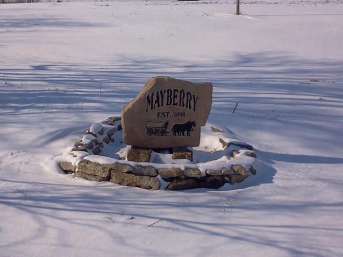
A sign pays tribute to the long-lost community of Mayberry. It sits on a corner in Pawnee County where the town and Rock Island Railroad intersected.
Mysteries on the Map is a monthly series that highlights a different ghost town and how it contributed to the rich history of Nebraska. Running through the summer months, it pays tribute to the pioneers who endured incredible hardship and paved the way so that we can now enjoy the good life called Nebraska. If you have suggestions or stories to share about a community that no longer exists, contact reporter Kristen Sindelar at Kristen.Sindelar@midwestmessenger.com. Write to the Midwest Messenger at P.O. Box 239, Tekamah, NE 68061, or call editor Janelle Atyeo at janelle.atyeo@lee.net.

Kristen Sindelar
Agriculture Reporter


