
The shape of America’s farms has changed over time. The evidence exists in numerous databases that offer a bird’s-eye view of the landscape.

People are also reading…


E-edition PLUS unlimited articles & videos

Personalized news alerts with our mobile app

*FREE access to newspapers.com archives

Hundreds of games, puzzles & comics online
*Refers to the latest 2 years of agupdate.com stories. Cancel anytime.
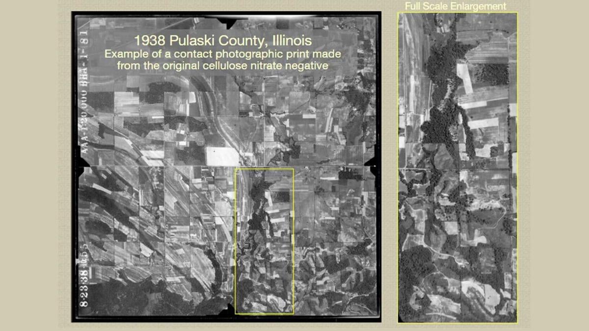
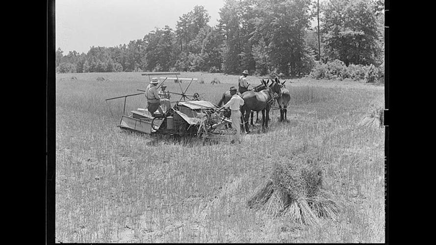
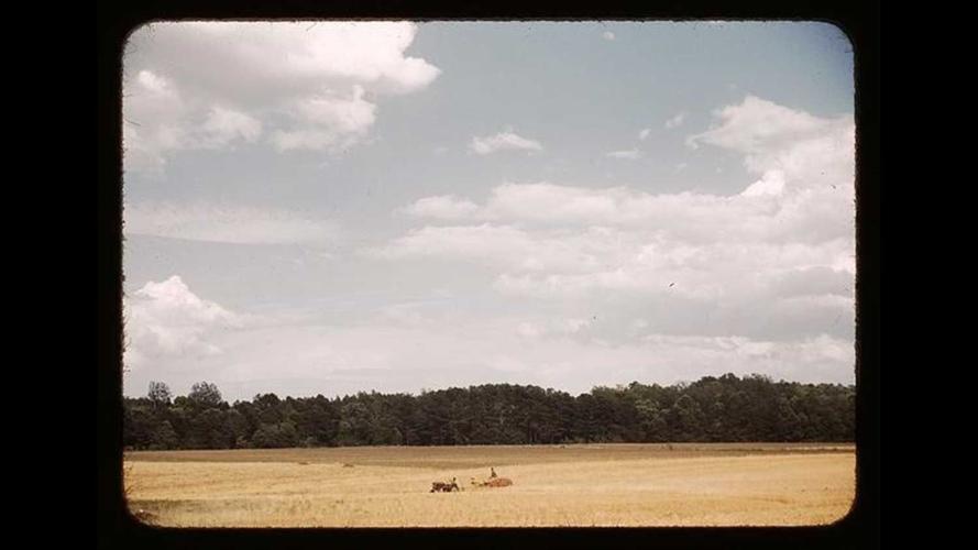
The first aerial survey of the country’s urban and rural lands was ordered in the early 1930s as part of the National Aerial Photography Program. The Farm Security Administration also contracted 18 photographers who fanned out across the country to document life in rural America.
Photos courtesy Library of CongressThe shape of America’s farms has changed over time. The evidence exists in numerous databases that offer a bird’s-eye view of the landscape.
Get local news delivered to your inbox!

{{description}}
Email notifications are only sent once a day, and only if there are new matching items.
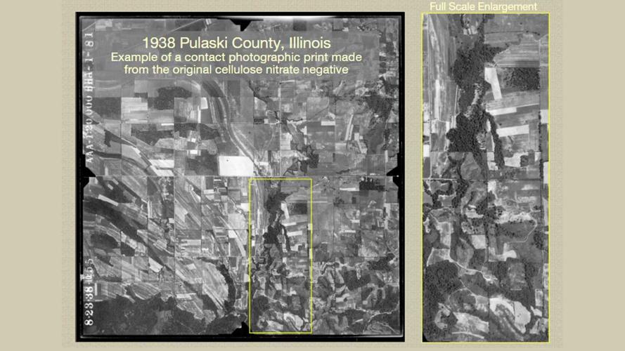
The first aerial survey of the country’s urban and rural lands was ordered in the early 1930s as part of the National Aerial Photography Program. The Farm Security Administration also contracted 18 photographers who fanned out across the country to document life in rural America.
Get up-to-the-minute news sent straight to your device.