
Few people will root for a harsh winter, but University of Minnesota Extension educator Anthony Hanson says there can be some benefits to colder weather, including pest control in crops.


Clear skies. Low 51F. Winds light and variable.
Clear skies. Low 51F. Winds light and variable.
Sunny skies. Warm. High around 80F. Winds S at 5 to 10 mph.
Chance of Rain: 3%
Sunrise: 07:33:27 AM
Sunset: 06:24:10 PM
Humidity: 90%
Wind: SSW @ 3 mph
UV Index: 0 Low
Clear skies. Low 51F. Winds light and variable.
Chance of Rain: 9%
Sunrise: 07:34:37 AM
Sunset: 06:22:42 PM
Humidity: 61%
Wind: S @ 8 mph
UV Index: 4 Moderate
Mostly clear. Low 53F. Winds light and variable.
Chance of Rain: 6%
Sunrise: 07:35:48 AM
Sunset: 06:21:15 PM
Humidity: 53%
Wind: SSE @ 13 mph
UV Index: 4 Moderate
A few clouds. Low 56F. Winds SSE at 10 to 15 mph.
Chance of Rain: 3%
Sunrise: 07:36:58 AM
Sunset: 06:19:49 PM
Humidity: 51%
Wind: S @ 12 mph
UV Index: 3 Moderate
Cloudy. Low 54F. Winds SSW at 5 to 10 mph.
Chance of Rain: 4%
Sunrise: 07:38:10 AM
Sunset: 06:18:24 PM
Humidity: 63%
Wind: NW @ 6 mph
UV Index: 3 Moderate
Cloudy. Low 53F. Winds light and variable.
Chance of Rain: 24%
Sunrise: 07:39:21 AM
Sunset: 06:17 PM
Humidity: 75%
Wind: ESE @ 8 mph
UV Index: 1 Low
Cloudy with showers. Low 47F. Winds N at 5 to 10 mph. Chance of rain 50%.
Chance of Rain: 34%
Sunrise: 07:40:33 AM
Sunset: 06:15:37 PM
Humidity: 69%
Wind: NE @ 9 mph
UV Index: 2 Low
Partly cloudy skies early followed by mostly cloudy skies and a few showers later at night. Low 46F. Winds E at 5 to 10 mph. Chance of rain 30%.
Few people will root for a harsh winter, but University of Minnesota Extension educator Anthony Hanson says there can be some benefits to colder weather, including pest control in crops.

Extreme weather patterns have created some challenging conditions for farmers over the last several years, and some industry experts believe they may lead to long-term implications for costs like inputs and insurance.

During the first few days of May, heavy precipitation was scarce and mostly limited to the upper Great Lakes region and the Northeast. However, portions of the upper Great Lakes States received heavy snow, while some Northeastern locations received rainfall totaling at least 2 to 4 inches Ap…

The last in a series of winter-like storms punched inland across the West before crossing the central Plains and upper Midwest during the week of April 2-8, according to the April 11 USDA Weekly Weather and Crop Bulletin.

A move away from La Niña conditions in the Pacific Ocean, replaced by either neutral conditions or a move toward El Niño, could result in favorable summer weather for growing crops, University of Missouri atmospheric sciences professor Tony Lupo says.

The past three years have been dominated by a La Niña weather pattern, but models are showing that may finally be coming to an end.

A pair of late-December storm systems moved ashore in the West, delivering heavy precipitation in the Pacific Coast States and significant snow from the Cascades and Sierra Nevada to the western slopes of the Rockies during the week of Dec. 25-31, according to the Jan. 3 USDA Weekly Weather …

During the second half of the week of Nov. 20-26, wet weather across the South replaced previously tranquil conditions, although some heavy rain had fallen earlier in the western Gulf Coast region and across southern Florida, according to the Nov. 29 USDA Weekly Weather and Crop Bulletin.
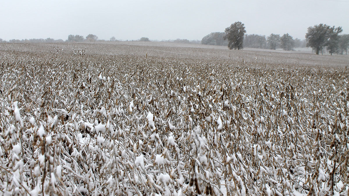
Cold, dry weather prevailed nearly coast to coast during the week of Nov. 13-19, according to the Nov. 22 USDA Weekly Weather and Crop Bulletin. Notably, snow squalls developed downwind of the Great Lakes, resulting in localized totals of 2 to 6 feet or more. In addition, precipitation fell …
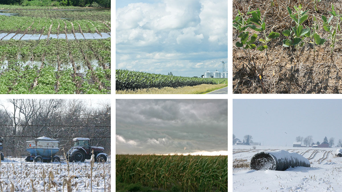
URBANA, Ill. — Changing weather patterns have profound impacts on agricultural production around the world. Higher temperatures, severe drought and other weather events may decrease output in some regions, but effects are often volatile and unpredictable.

From Oct. 30 through Nov. 5, for the second week in a row, rain provided drought relief from the western Gulf Coast region and lower Mississippi Valley into the Great Lakes States, according to the Nov. 8 USDA Weekly Weather and Crop Bulletin.
Dry weather continued to dominate many parts of the country the week of Oct. 23-29, allowing a rapid harvest pace to proceed for a variety of crops, according to the Nov. 1 USDA Weekly Weather and Crop Bulletin. Little or no precipitation fell across large sections of the East, High Plains, …
Continuing a recent trend, dry weather dominated the country, including large sections of the Plains, Midwest and Southeast, during the week of Oct. 16-22, according to the Oct. 25 USDA Weekly Weather and Crop Bulletin. During the two-week period ending Oct. 23, nearly one-third (30%) of the…
Recently Listed


© Copyright 2026 AgUpdate, 707 S 13th Street Tekamah, NE 68061
A Lee Enterprises, Incorporated newspaper. Majority shareholder: David Hoffmann, Hoffmann Media Group.
Get up-to-the-minute news sent straight to your device.